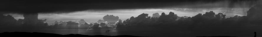
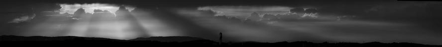
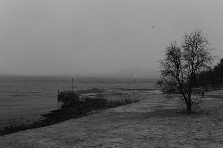
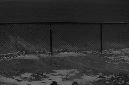
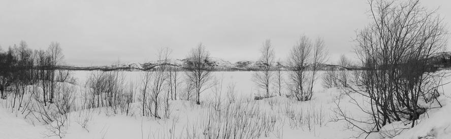
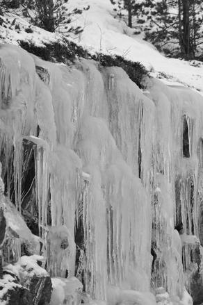
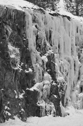
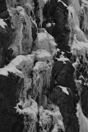
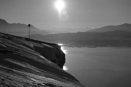
once during the last days of december, a great fog panorama presented itself to us. the fog was close, but didn’t reach us yet:
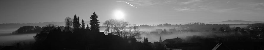
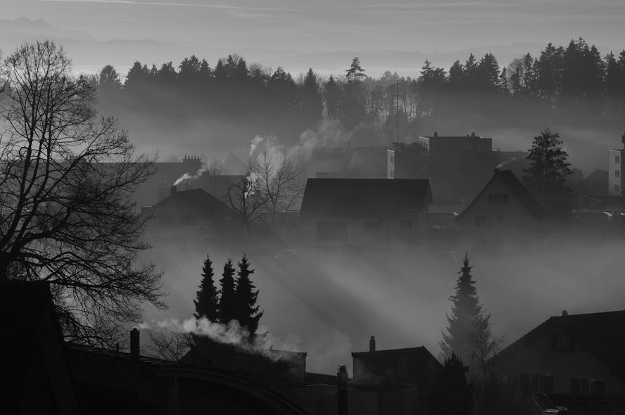
once during the last days of december, a great fog panorama presented itself to us. the fog was close, but didn’t reach us yet:
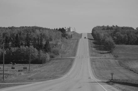
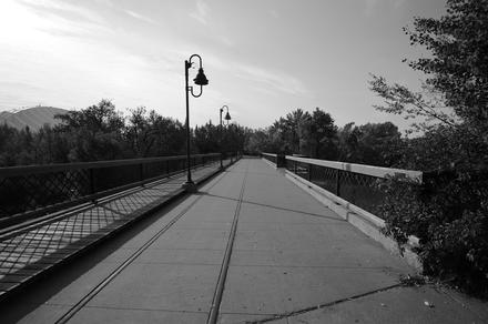
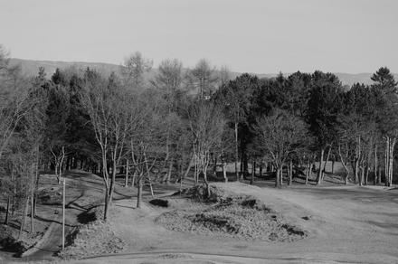
during the second half of september and the first few days of october, we were roaming through canada. we spent two weeks in the west and one in the east. revisiting some places i’ve been earlier, and visiting a lot of places i’ve never seen before.
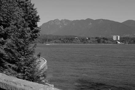
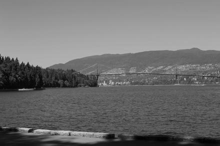
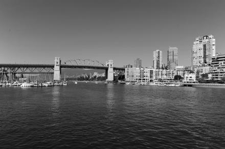
we started in vancouver.
next, we set over to vancouver island and crossed the island to its west coast.
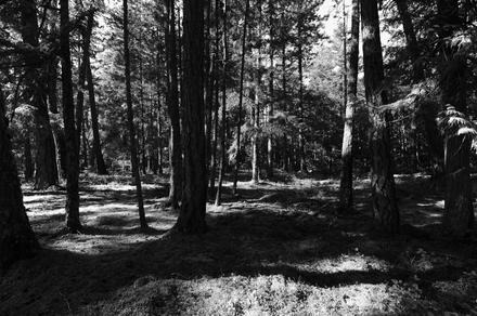
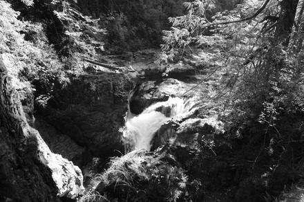
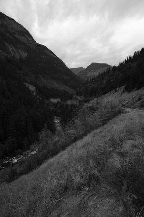
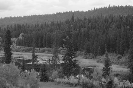
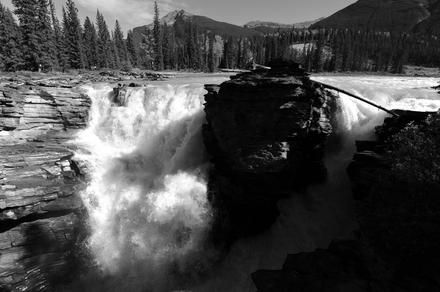
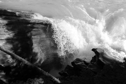
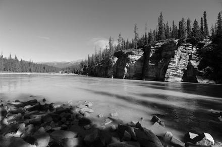
on our way to the west coast, we stopped at the little qualicum falls. (our first waterfall on this trip, but definitely not the last.)
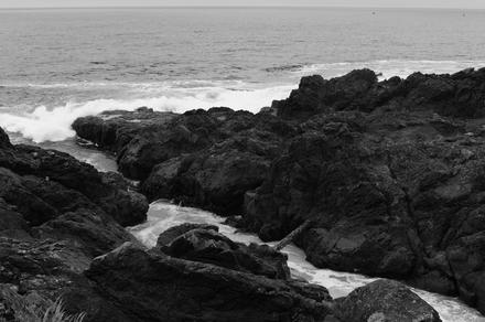
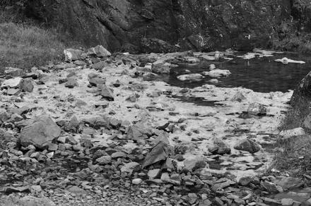
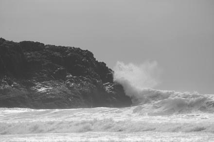
on the west coast, we stayed in ucluelet.
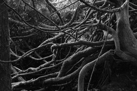
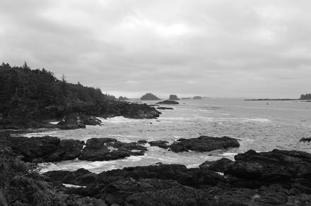
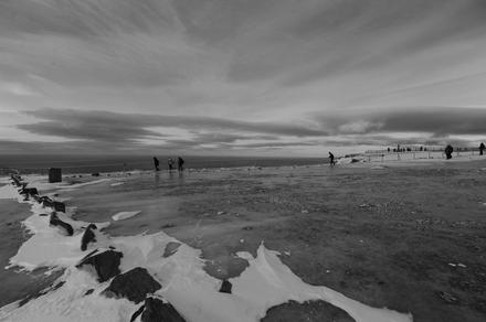
ucluelet is a nice place placed directly at the pacific ocean. the following pictures are from a nice walk near the lighthouse.


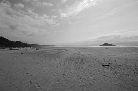
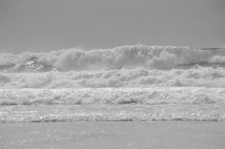
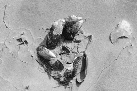
from ucluelet we continued northwards in the direction of tofino and stopped at long beach. after somewhat cloudy weather in ucluelet, the clouds opened up here and we had nice sunny weather. obviously, we put our feet into the ocean.
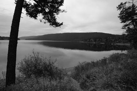
later, we continued to victoria. the last two of the above photos were taken near port alberni.
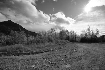
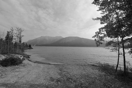
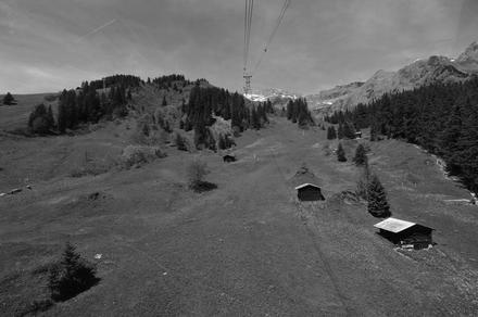
from victoria, we set back to the mainland and continued north. we took a tram up a mountain near squamish, had a little stop-over in whistler, and then continued north-east until we arrived in clinton.


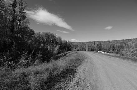
from clinton, we headed north to prince george.
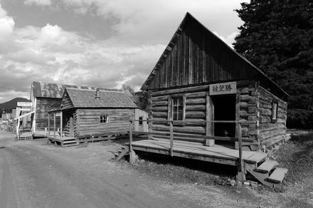
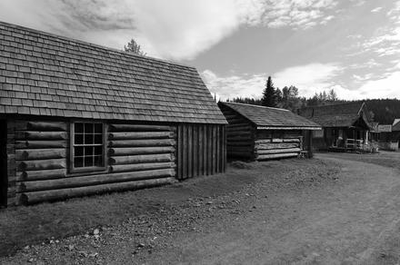
barkerville is an old gold-mining town not too far from prince george. on our trip to the latter, we did an excursion to barkersville.
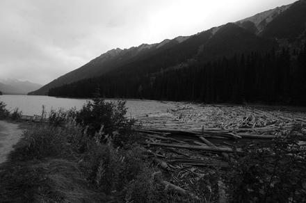
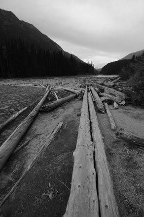
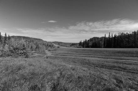
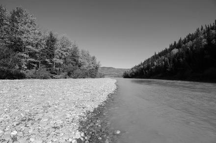
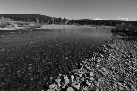
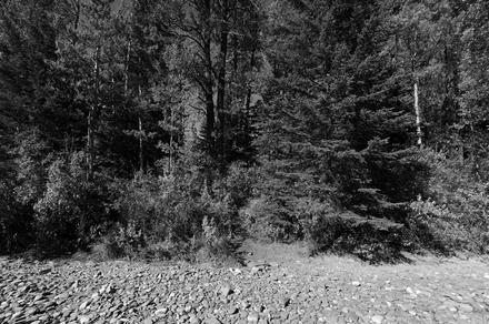
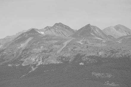
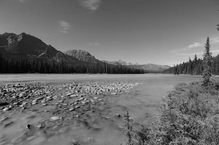
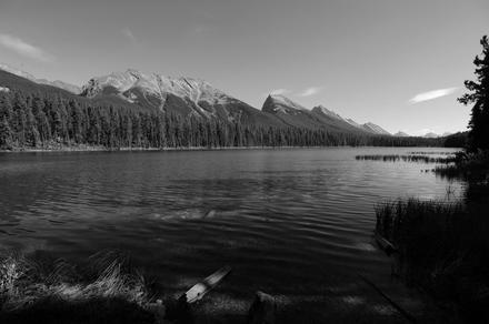
from prince george, we continued north-east to dawson creek, from where we continued to Grande Prairie and then headed south to jasper.

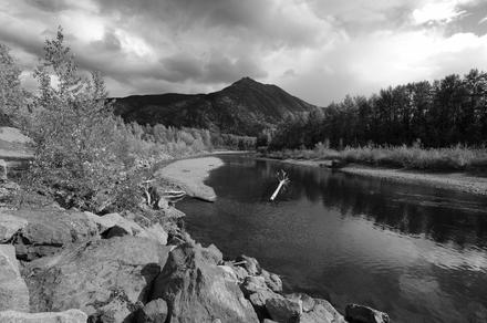

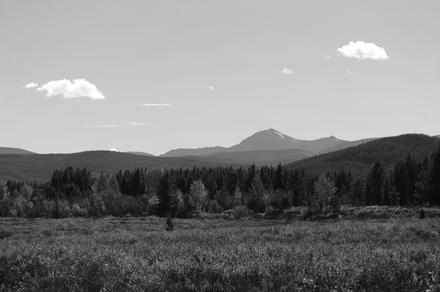
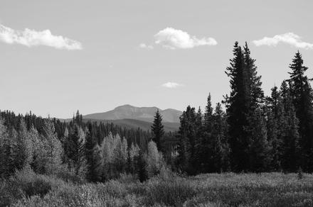
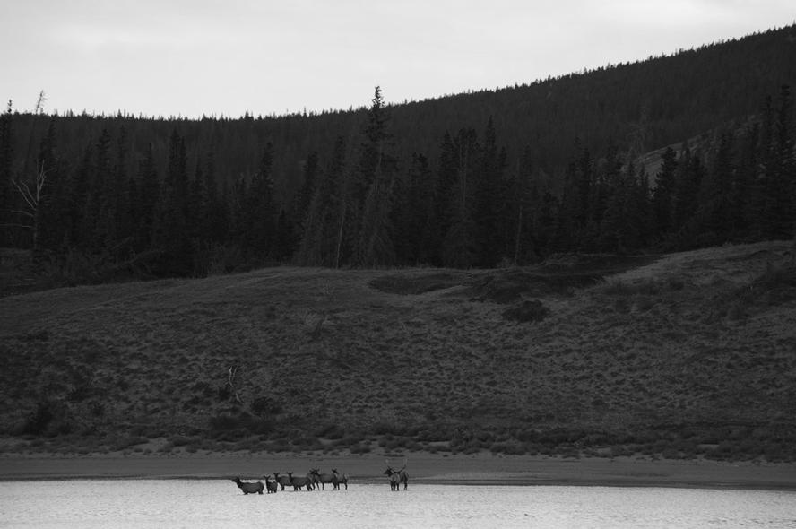
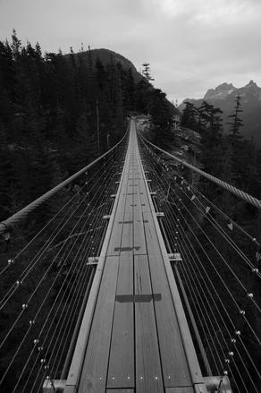
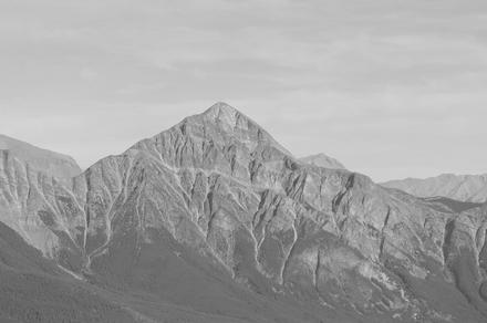
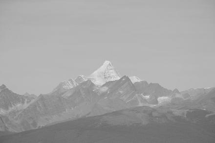
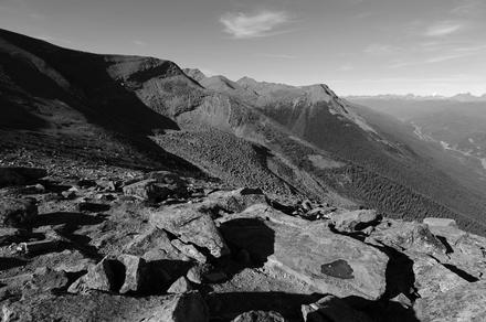
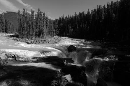
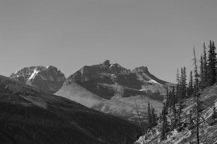
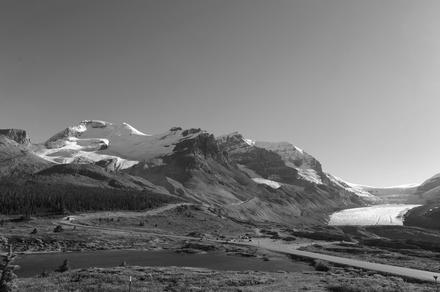
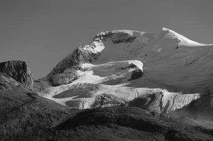
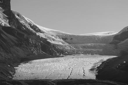
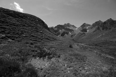
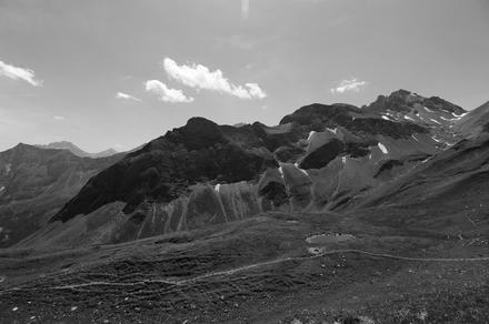
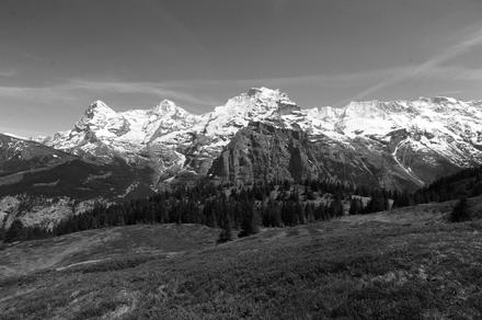
from jasper we travelled along the icefields parkway. or at least its northern part. it was a very nice trip, with one exception: the so-called glacier skywalk. despite its name, it has not much to do with glaciers. the landscape you can see was formed by glaciers, and you can see glaciers from far away – but that’s it. you can get way better views of still-alive glaciers (like the columbia icefield) for free and not far from there.
don’t get me wrong, the construction of the skywalk is great (from a technical point of view), but the name’s a terrible choice and quite disappointing. (an interesting fact is that roughly at the place where the skywalk is built, i remember a stop at the street where you could stop your car and take a look. the view was similar to the one from the skywalk. now you can’t stop there anymore, but have to pay quite some bucks to be transported there by bus.)

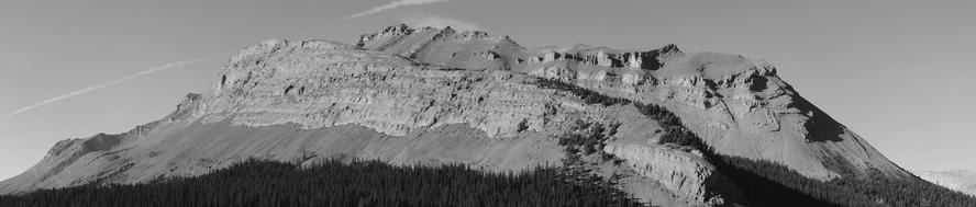
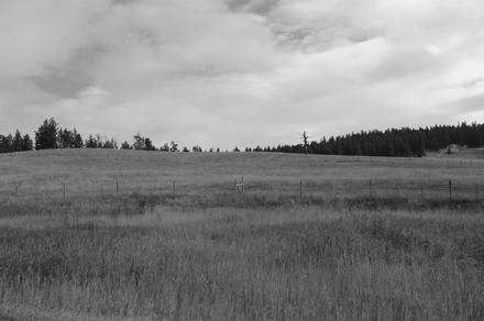
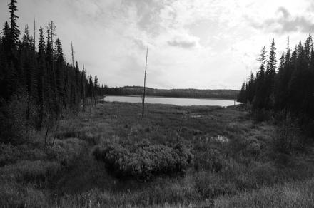
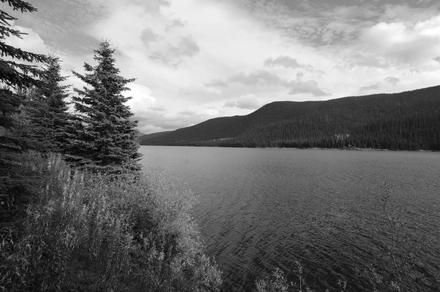
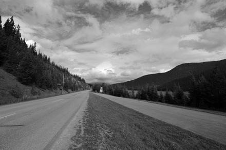
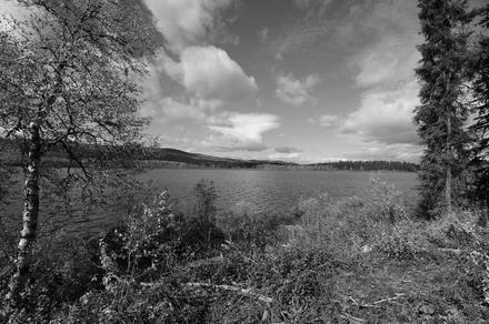
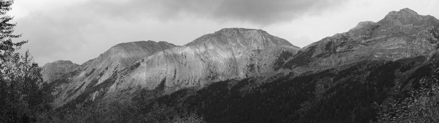
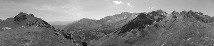
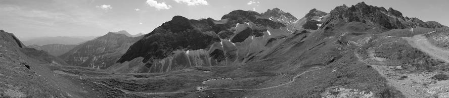
from roughly the middle of the icefields parkway, at saskatchewan river crossing, we headed east along highway 11. the mountainous landscape changed to endless farmland, endless straight roads with regular (every 25 kilometers or so) perpendicular intersecting roads. except from slight elevation changes, you it feels like you can drive forward forever. eventually, we headed south, though.
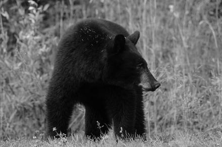
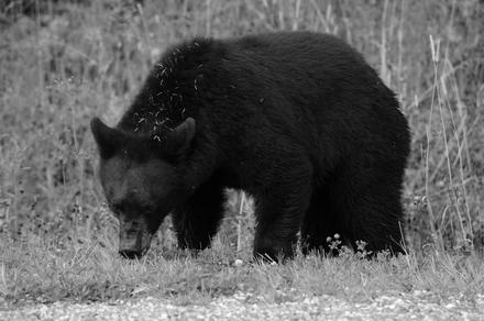
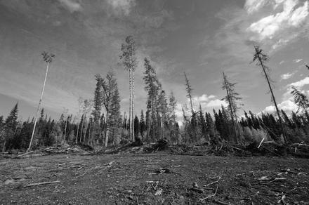
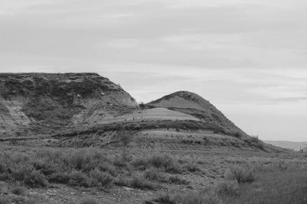
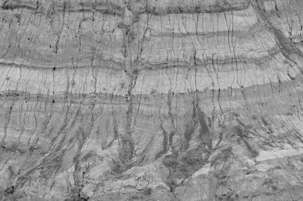
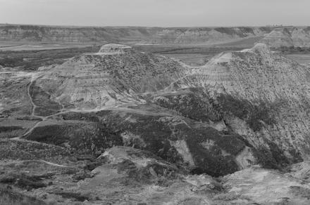
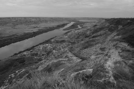
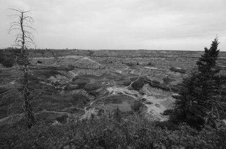
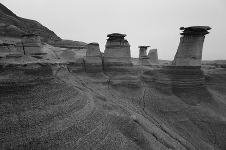
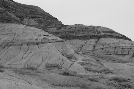
our next destination was drumheller in the heart of the alberta badlands. from there, we explored the badlands a bit, in particular we saw horsethief canyon, horseshoe canyon, and the famous hoodoos. unfortunately, we had several rainshowers inbetween…
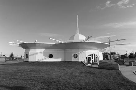
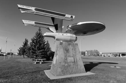
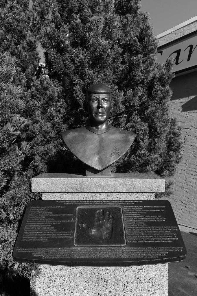
from drumheller we continued to vulcan, where we visited the tourist information as well as the trekcetera museum. thanks a lot to devan and michael for showing us around both places! (besides, a museum where you are even encouraged to take photos is a great museum!)
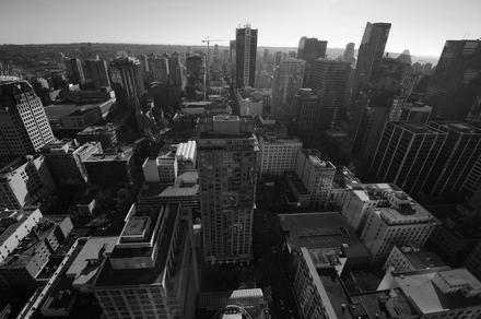
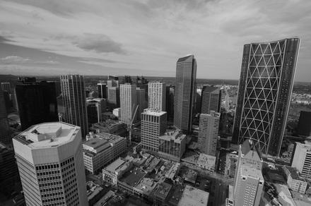
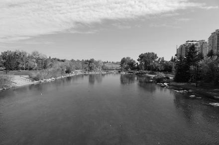
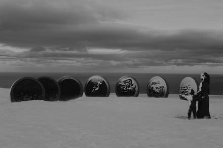
finally, we ended up in calgary, where i used to live for quite some time. this was the first time i visited calgary as a tourist, and it turns out there are quite some things to see you wouldn’t expect. if you ever want to explore calgary, you should visit the calgary tower – they have a great electronic tour guide, which is essentially a smartphone where you can click on buildings you can see and get audio information, sometimes also videos, about the places. it also included some material on last year’s flood, so it looks like it’s pretty new. i hope they’ll keep it and also keep it up to date.
the other great thing we did was a city tour on calgary’s only hop-on hop-off bus. apparently not well known, we happened to be the only two passengers for our tour. which was great for us, since our guide was really fantastic (he used to guide tours in the rocky mountains before)! he explained and showed us lots of things we would have never seen or heard about. he also showed us some nice places which are usually not part of the tour. it’s really a shame that this tour is not more well-known.

from calgary, we took a plane to toronto.
yesterday, we visited the pizol. getting up was quite an adventure, though; we first travelled via train to bad ragaz, from where sbb.ch claimed bus 456 (a postauto) proceeds to the cable car station. unfortunately, as it turned out, the bus is only going during winter season. as we were waiting where it should leave, we noticed another small bus with “pizol” largely printed on it leaving at the designated time. the bus was hidden behind another postauto when we got out of the train station, so we only noticed it when it was leaving. since we weren’t the only ones standing at the postauto stop waiting for bus 456, we were a bit confused, and finally went to ask in the train station. turns out, they knew that the bus was still written on incorrectly and already passed the message on several times, but nothing happened. so we waited one hour for the next bus (walking would have taken around 40 minutes, but that’s not too much fun at over 30 degrees in the sun). well, when the (private) pizol bus finally came back, we also tried to inform the driver, who apparently never before heard about this problem. he also mentioned that from next year on, there will be a postauto also during summer… well, we hope that maybe now someone will put up a sign at the postauto stop that the bus is currently departing from somewhere else…
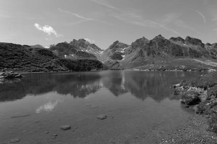
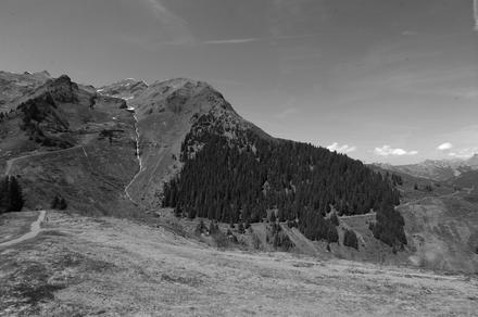
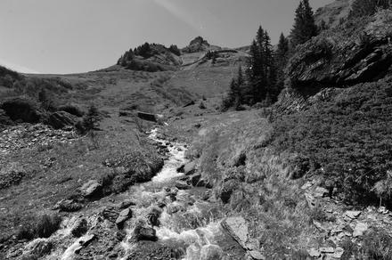
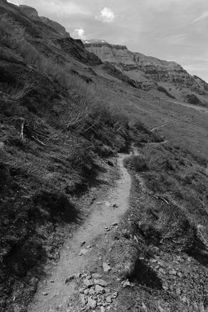
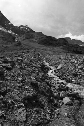
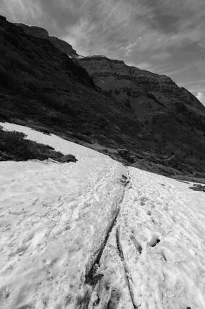
anyway, we finally took up the cable cars to laufböden, from where we wanted to walk the panorama trail (should be around 60 minutes). interestingly, the only sign up there pointing to the destination of the panorama trail said it would take 20 minutes. with no real different choice, we started walking that direction, until after 50 meters or so we found another sign, splitting up between the direct route (“standart-weg”) and the panorama trail. we continued the panoramic trail, though in the end we noticed we apparently screwed something up, as when we arrived at a lake inbetween, we saw that the panoramic trail leaving from there to our starting point left in another direction… whatever… anyway, we had a nice view, and up there the temperature was really nice and bearable. we also were able to put our feet into the lake, which was very refreshing. after circling the lake, we continued the trail to the pizolhütte where we had lunch, and finally proceeded down.
overall it was a very nice excursion, except that getting there (and also getting back to the train station) via public transport is apparently somewhat more complicated…
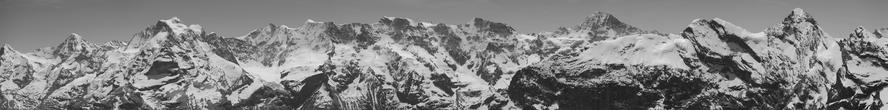
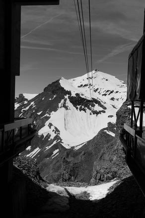
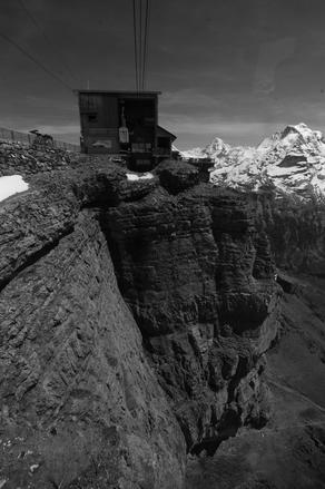
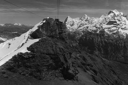
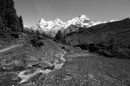
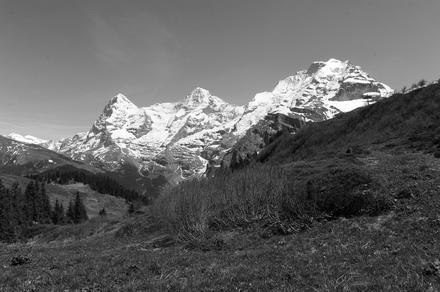
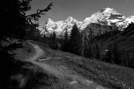
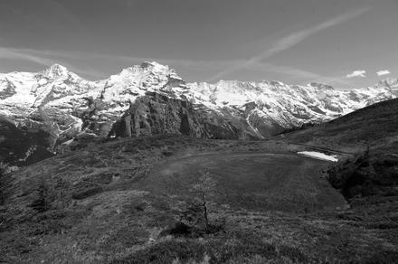
yesterday we visited the bernese oberland, to mürren. we first spontaneously took the cablecar up the schilthorn, known to many from the james bond movie on her majesty’s secret service. in fact, one terrace up there was built specifically for the film to allow a helicopter to land there. from the top of the schilthorn, one has a great view on the surrounding mountains, most prominently eiger, mönch and jungfrau. (a couple of years ago i was up there, visiting the jungfraujoch.)
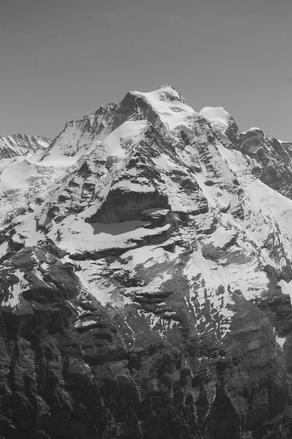
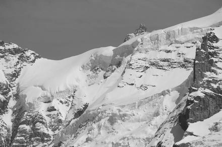
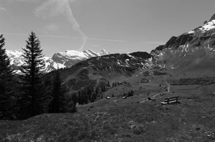
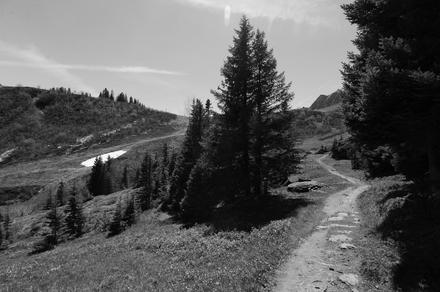
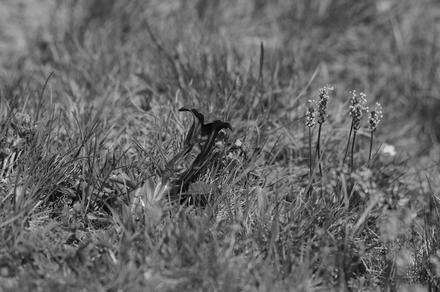
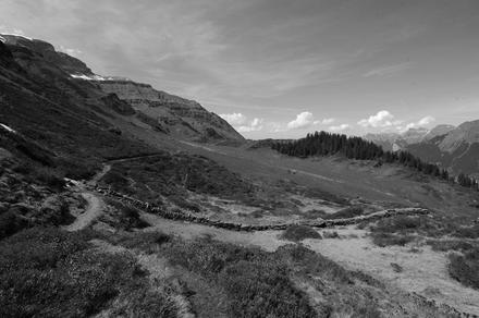
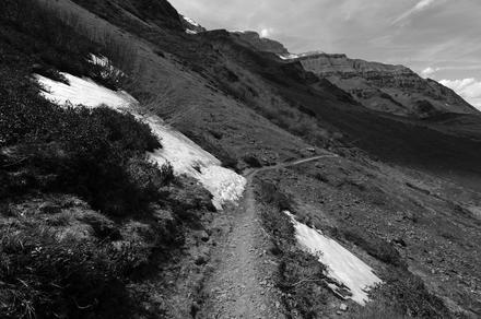
afterwards, we took the cablecar back down to mürren, and took the funicular up to the allmendhubel. from there, we enjoyed the mountain view trail to the grütschalp train station. from the trail we had a great view on the big three mountains (eiger, mönch, jungfrau). it was a really nice hike with some diversion, from moorlands to ski slopes, forests to dry-stone walls and even some cows.
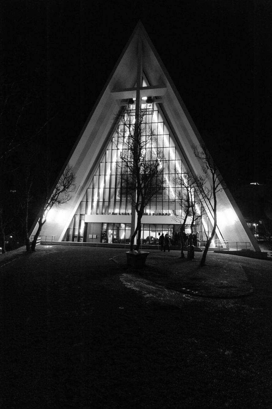
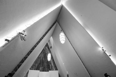
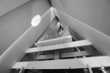
on the way back south, we visited tromsø for a second time. there, we attended a concert in the ishavskatedralen:
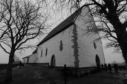
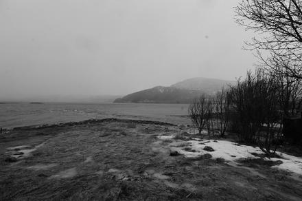
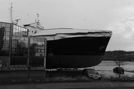
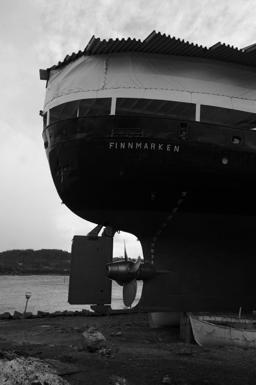
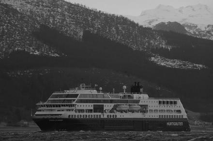
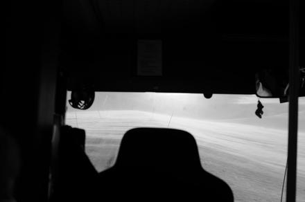
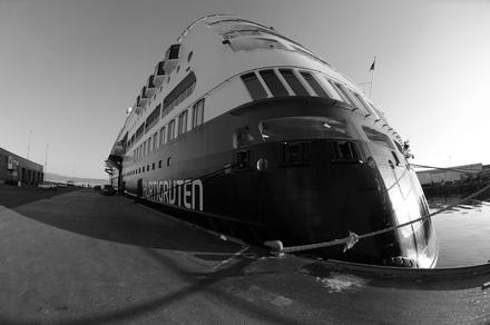
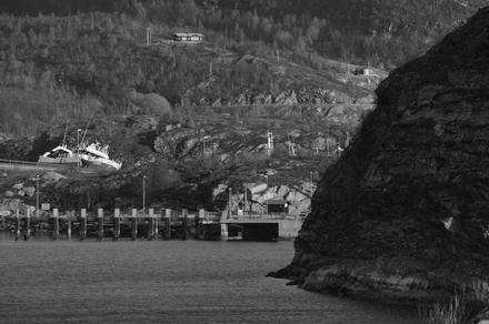
the next day, we had the chance of exploring the vesterålen island by bus. we first visited the trondenes church, where also the weather began to get worse: it started snowing. and later, hailing. both with a lot of wind, and sometimes pretty much horizontally. the island is really beautiful, eventually we have to go back and explore the nature in more detail. some hours later, we arrived in stokmarknes, where we had a chance to visit the hurtigruten museum. part of the museum is the complete ms finnmarken, parts of which can be freely explored. below, you can also find a photo from its bridge.

the next day we again crossed the arctic circle, this time southbound.
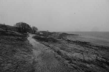
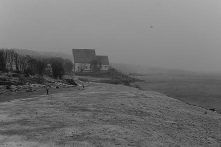
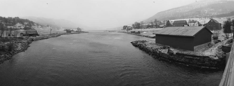
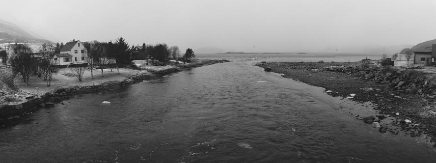
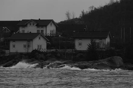
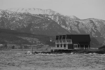
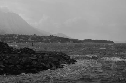
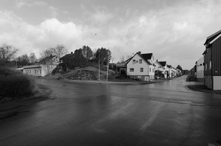
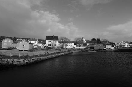
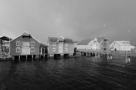
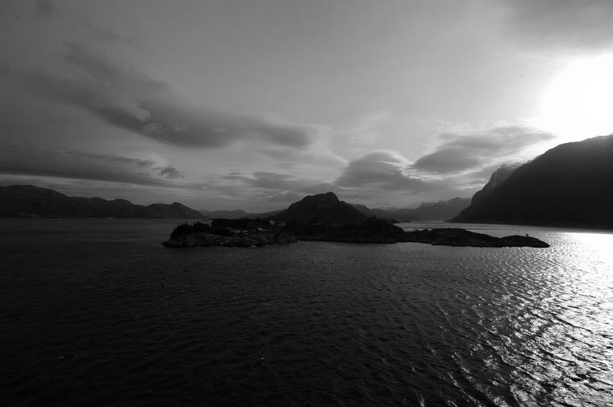
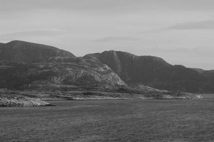
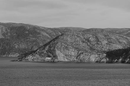
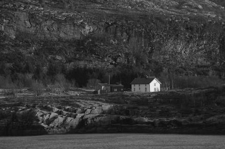
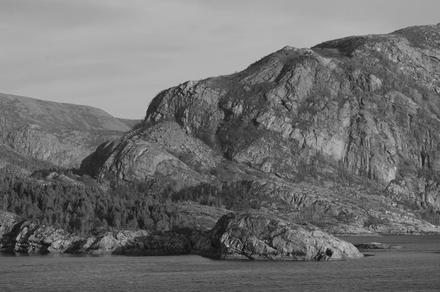
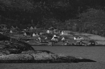
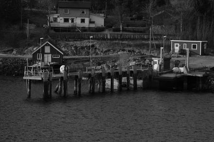
again one day later, we visited the (surprisingly) beautiful town of rørvik. it is quite a nice little town, with some quite beautiful places:
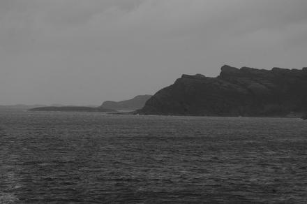
from rørvik we proceeded south, straight to bergen.
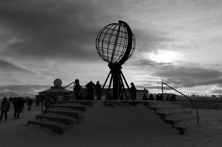
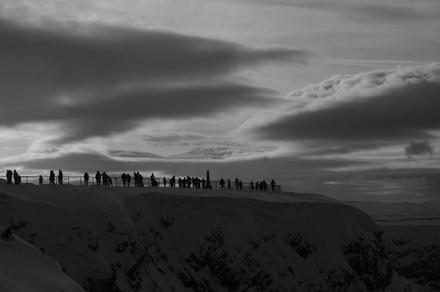
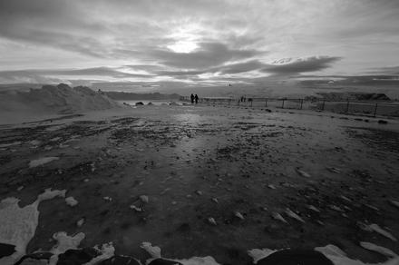
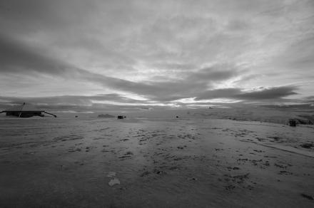
the next day, we visited the island magerøya, the northernmost piece of the european continent. after boarding in honningsvåg, we were brought by bus to the north cape, the (almost) northernmost corner of europe. on the trip, the weather was awesome, but when we arrived it began to be cloudy. but well, that’s magerøya, where you can have all four seasons in one day, as our (excellent!) guide said. here are some impressions:
i took the last photo from within the bus driving back, when the wind was blowing snow over the road, enlightened by the sun. it was a great view, and we were happy that we didn’t had to drive!
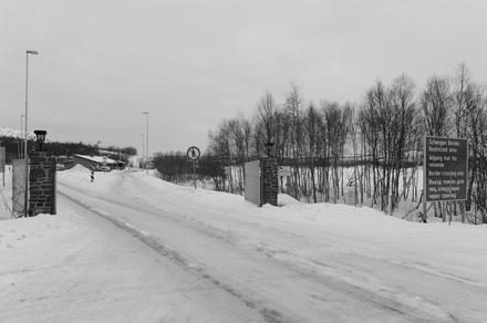
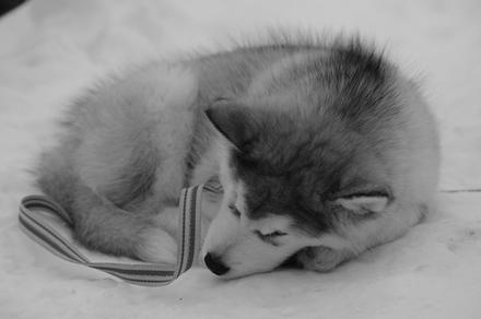
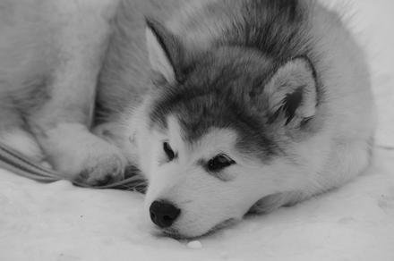
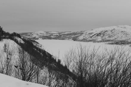
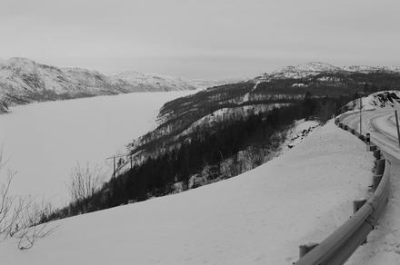
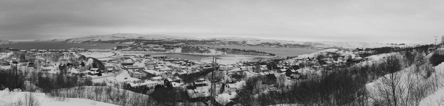
the next day, we visited kirkenes. from there, we took a bustrip to the russian border. there’s nothing much to see, except a cute husky cub. from there, we continued to bjørnevatn, a mining town close to kirkenes, hosting one end of the northernmost railway (which connects kirkenes and bjørnevatn, and which main purpose is to transport iron ore, workers and tools). afterwards, we took a closer look at the langfjord, before we returned to kirkenes to get a view over the town:


the day after, we approached hammerfest. the weather began to get better, and we had a good time on the sun deck:
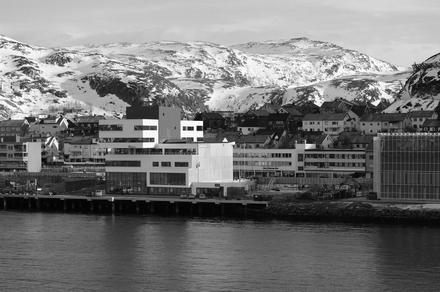
finally, we had a chance of visiting and exploring hammerfest. in hammerfest, we found among other things a nice bookstore, cramped to the top with books with narrow paths between them. such a great place! we could have spend days going through there (well, me somewhat less, as most books were in norwegian)!
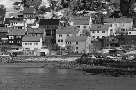
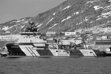
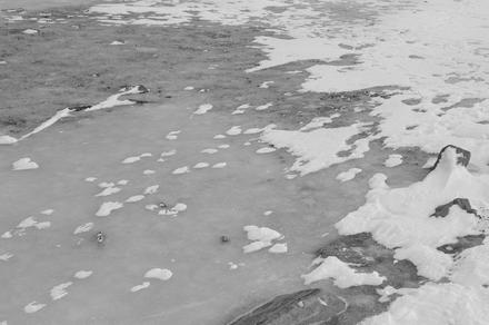
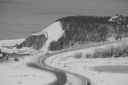
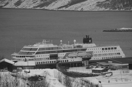
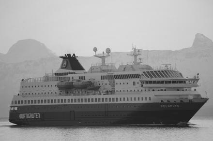
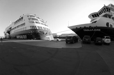
the next day, we left the ship early to explore harstad a little, a small town on the vesterålen island. there, we finally had a lot of signs of winter: icy roads. while the snow itself was mostly gone, all the melting and freezing created an icy cover of especially the side roads (the main roads were mostly clear). in harstad, we also met another hurtigruten ship, the ms polarlys.

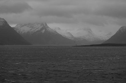
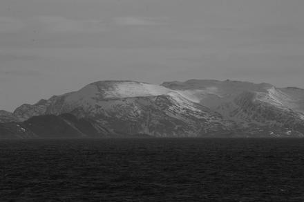
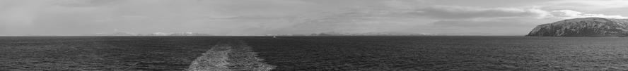
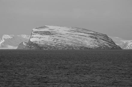
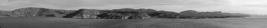
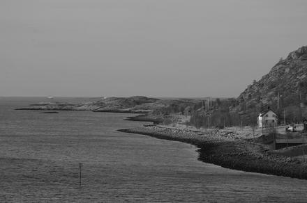
while leaving harstad, we saw the grytøya mountains, covered in snow; you can see them on the right in the first panorama. the second panorama shows the southern part of senja with lemmingvær covering the right front side.


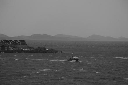
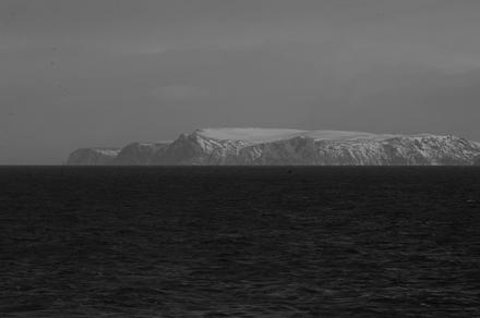
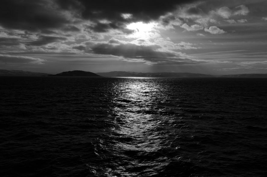
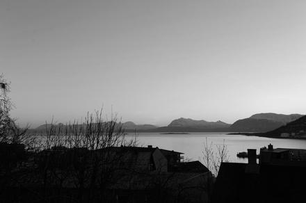
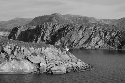
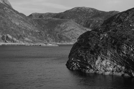
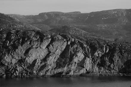
from vesterålen, we proceeded to our next big stop, tromsø. while approaching tromsø from the south, we came accross kvaløya, an island west of tromsøya we’ve been driving on last year. here is a photo of the coastline:

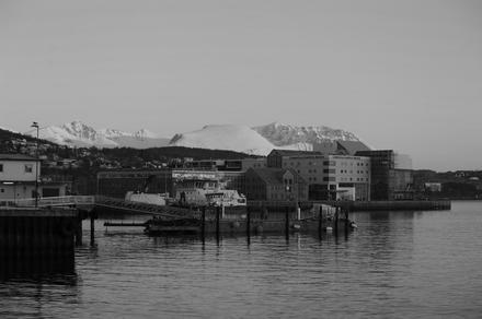
in tromsø, we took the chance to take the fjellheisen cable car up to the storsteinen. last year, the cable car didn’t operate due to a mechanical problem. up there, there was enough snow (and ice!) and we had a really good view over tromsøya, tromsø and the surrounding mountain ranges:


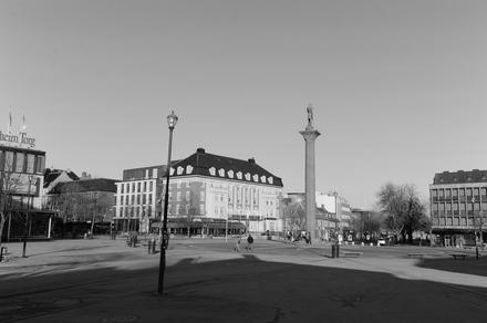
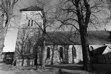
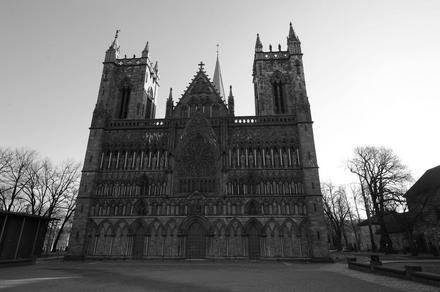
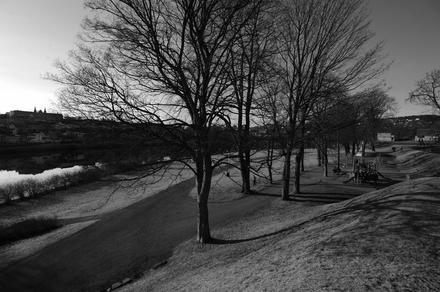
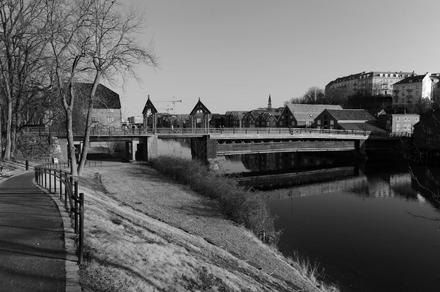
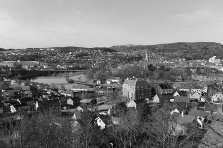
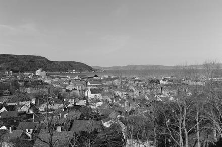
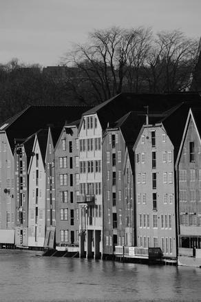
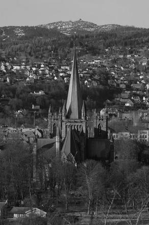
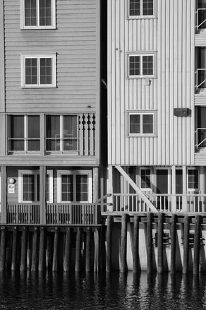
the next day, we visited trondheim for the whole morning. in trondheim, we met ms trollfjord’s sister ship, the ms midnatsol:
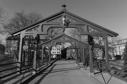
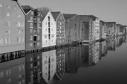
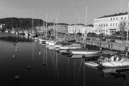
afterwards, we explored the beautiful city. it was a sunday morning, and whence quite empty, except for all the hurtigruten tourists:


during the afternoon, we went through the stokksund strait:

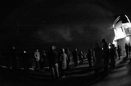
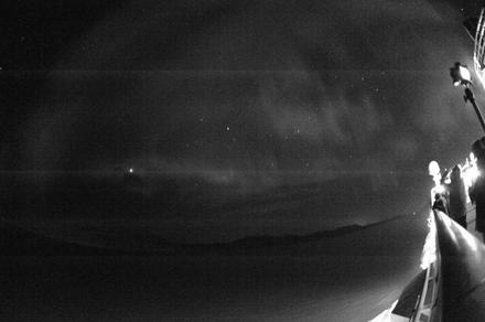
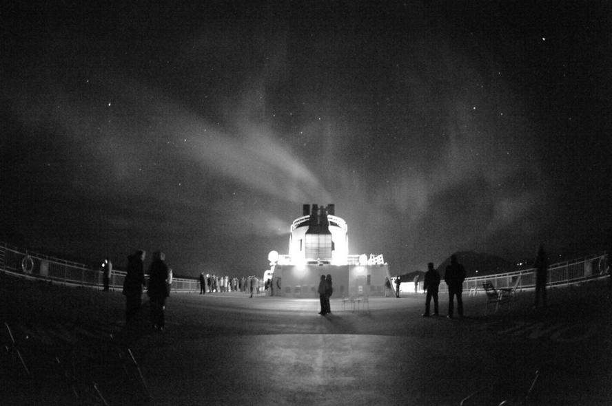
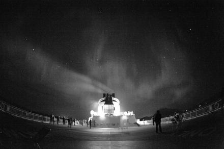
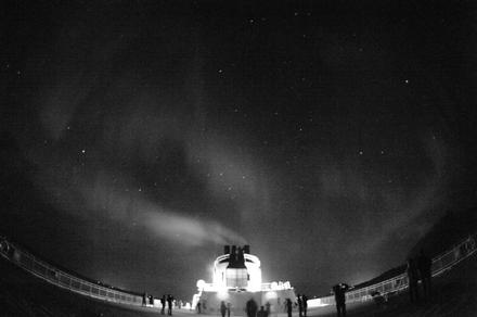
during the night, there was an announcement that northern lights are visible. well, they weren’t much more visible than the previous night (in fact less), but the light area was much larger, spanning over half of the sky: