skip to main content.

posts about glacier.

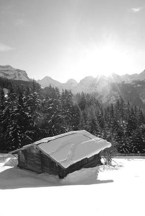
we spent part of this weekend in zermatt.

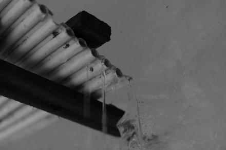
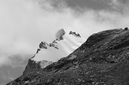
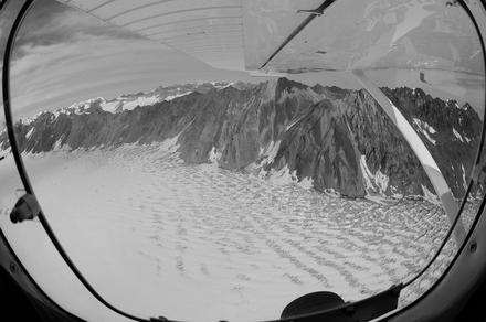
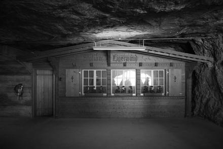
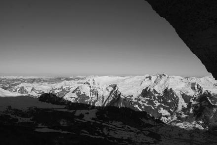
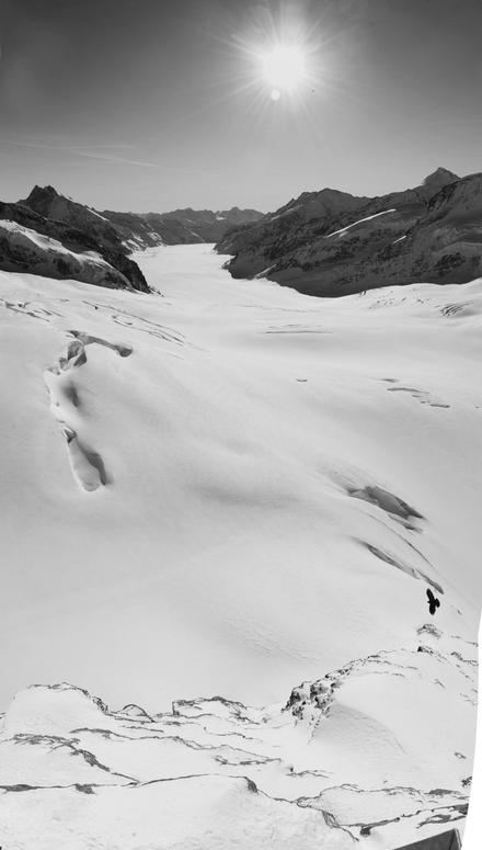
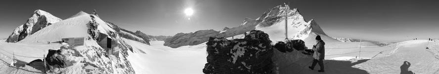
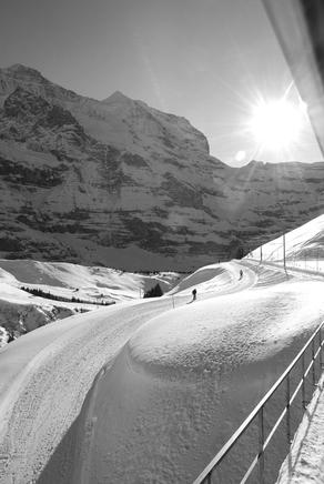
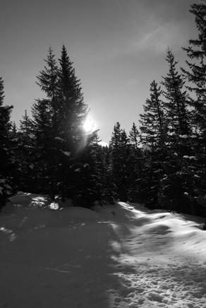
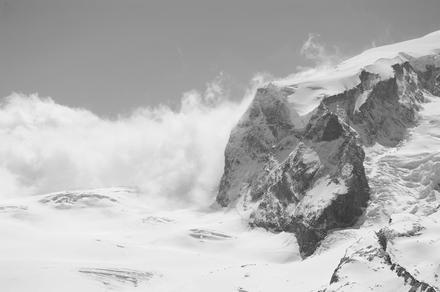
on friday, we took the cable cars up to the top of the klein matterhorn, up to 3880 meters above sea level. it’s an amazing trip! unfortunately, we weren’t very lucky with the weather, and from a certain high on we were essentially covered in clouds. there also was kind of a snowstorm going on, which made it quite unconfortable on the outside:

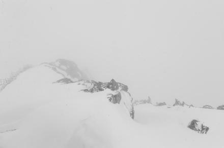
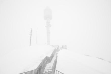
(we didn’t walk up to the summit; without a ski mask it was not that much fun walking through the essentially horizontally flying snow…)

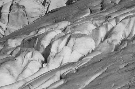
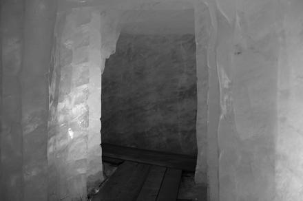
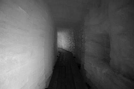
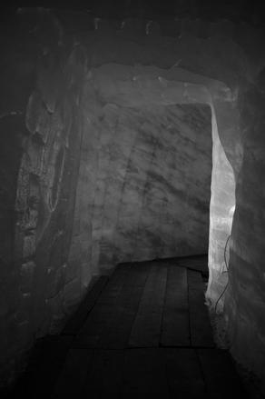
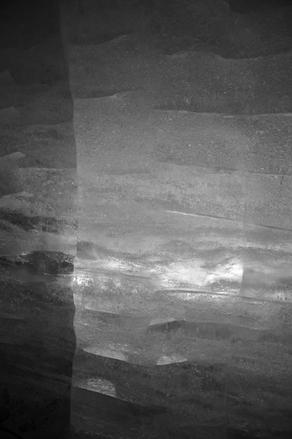
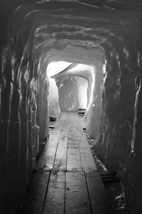
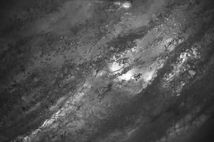
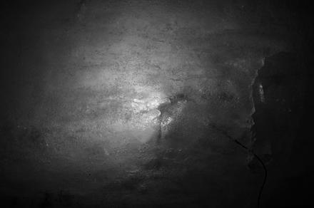
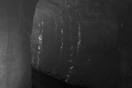
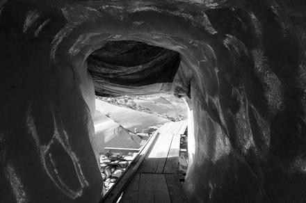
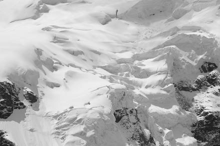
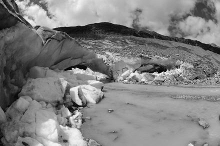
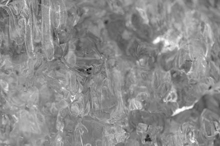
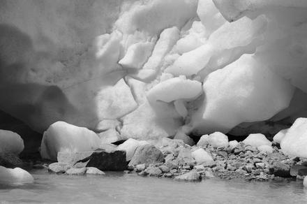
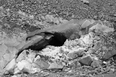
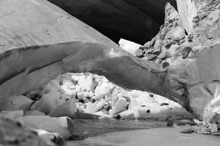
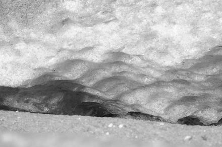
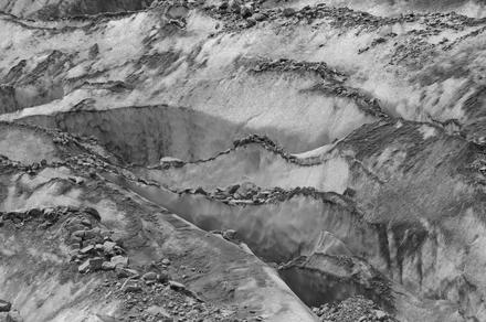
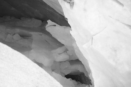
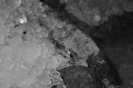
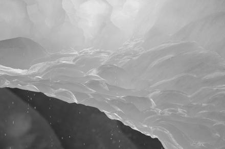
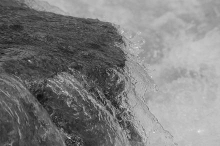
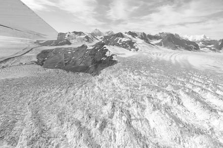
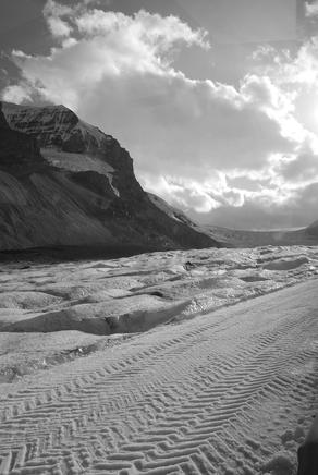
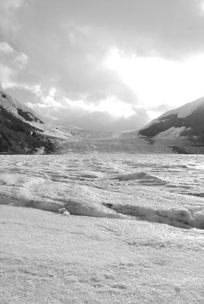
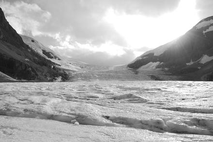
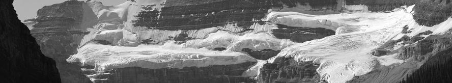
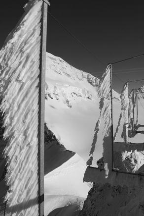
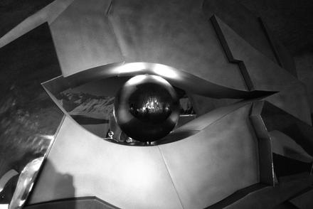
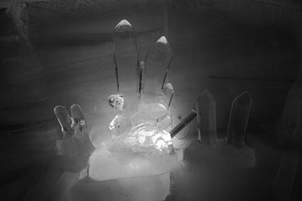
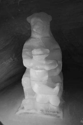
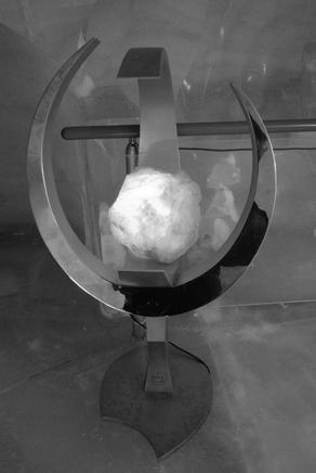
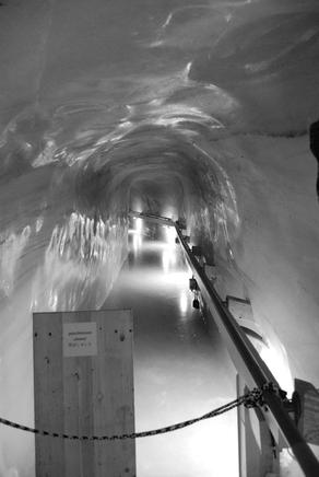
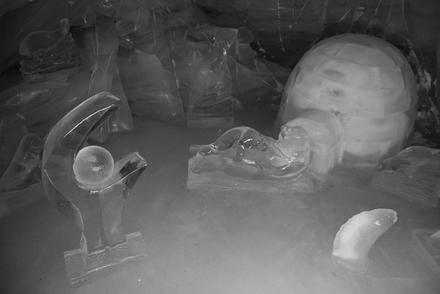
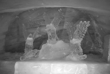
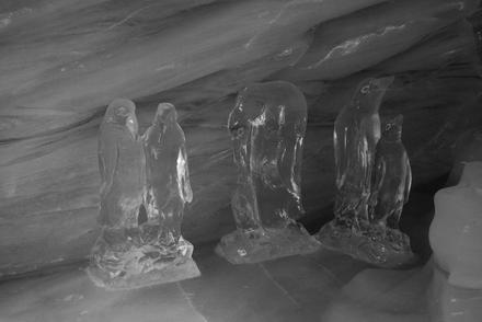
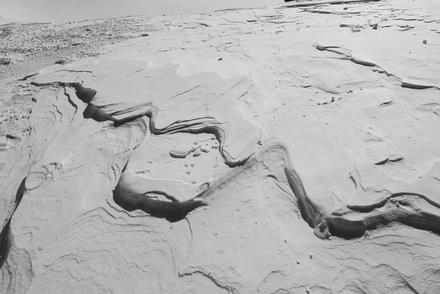
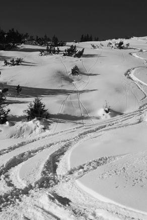
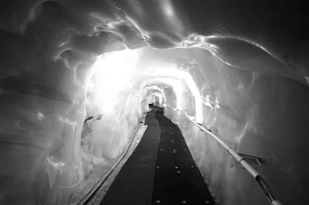
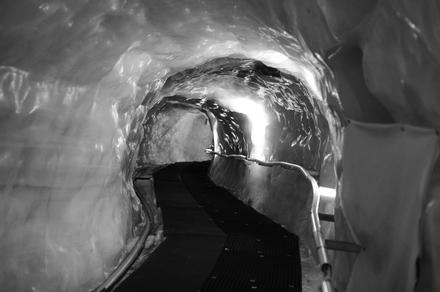
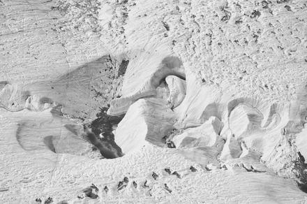
on the other hand, we walked a bit through illuminated glacier:

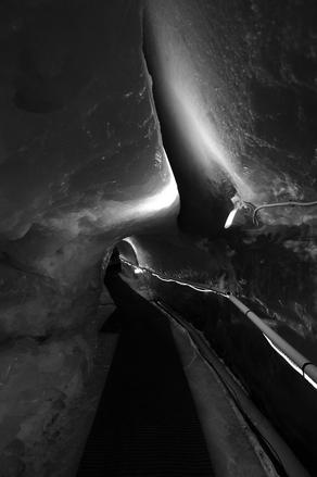
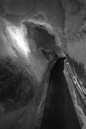
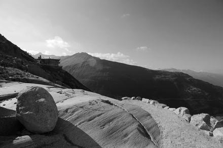
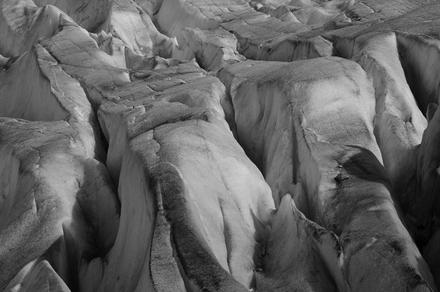
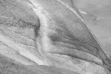
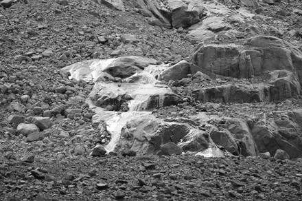
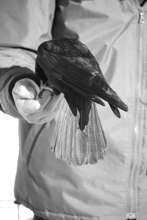
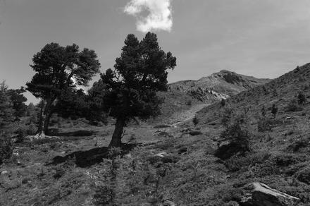
here are two photos from the trip down:

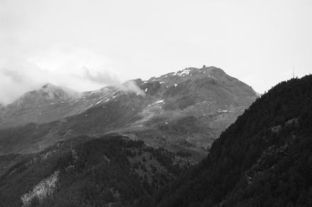
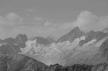
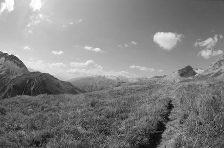
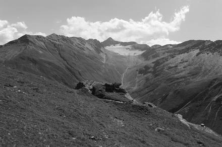
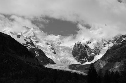
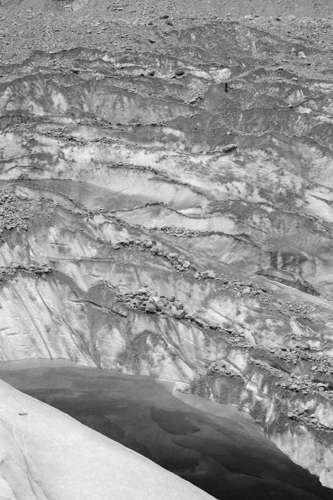
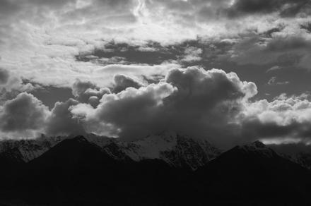
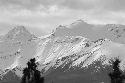
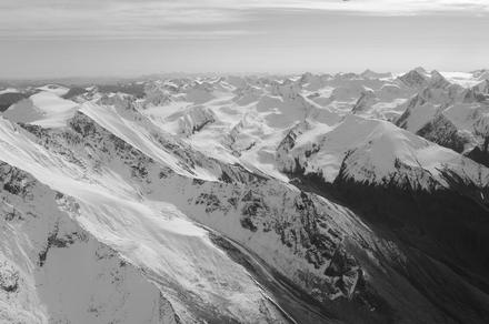
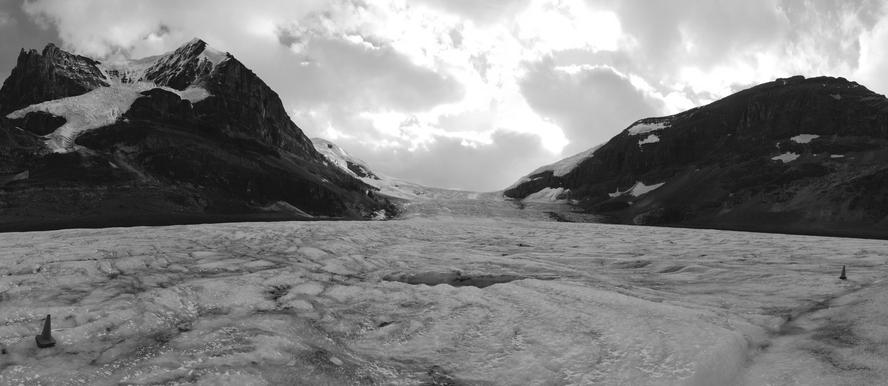
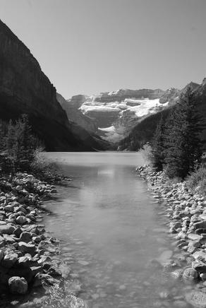
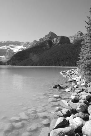
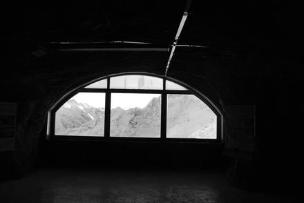
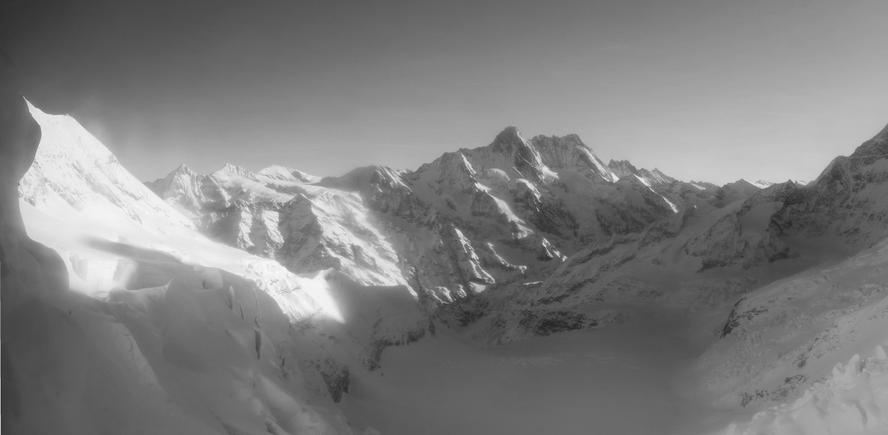
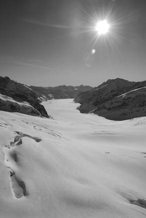
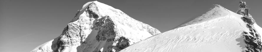
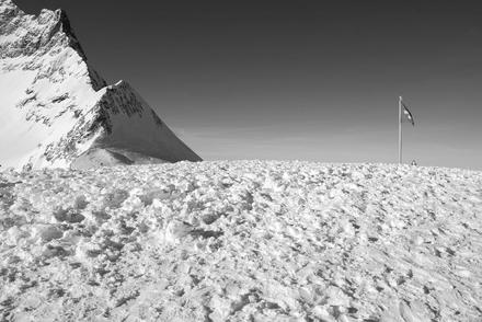
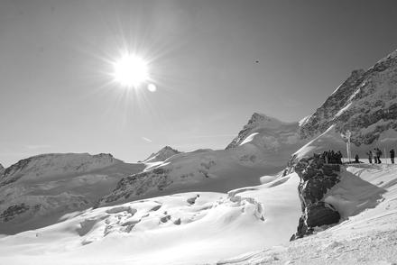
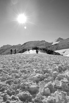
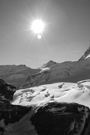
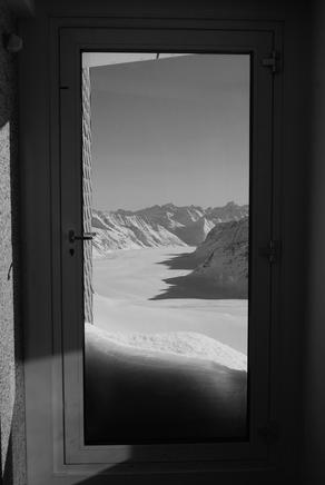
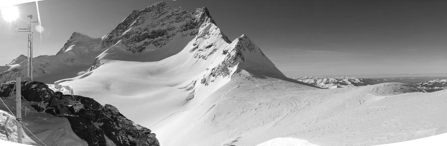
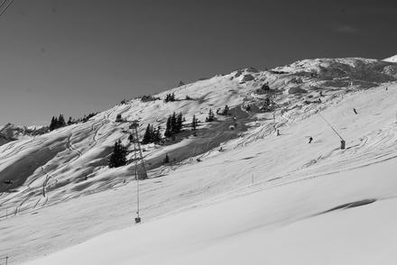
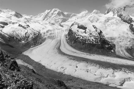
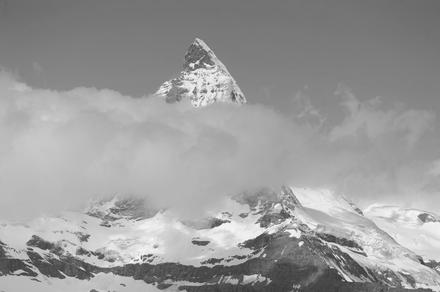
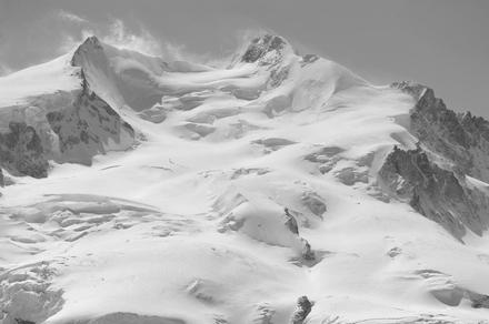
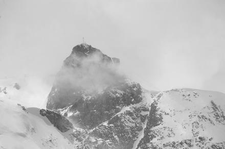
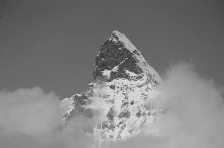
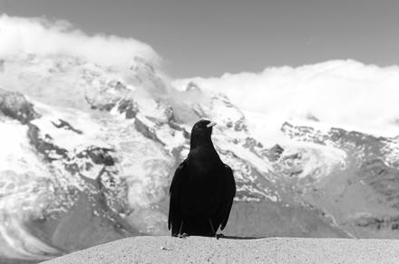
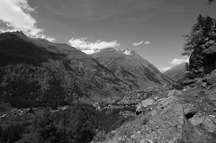
at least, it was possible to see something from there, even though we couldn’t see the matterhorn at all. but well, on the second day we got a glimpse. there were still some clouds around (and the klein matterhorn was covered by them a lot of the time), but this time we went up the gornergrat to around 3100 meters above sea level. up there, we had some really great views!

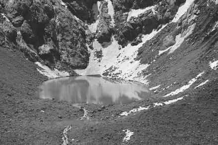
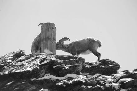
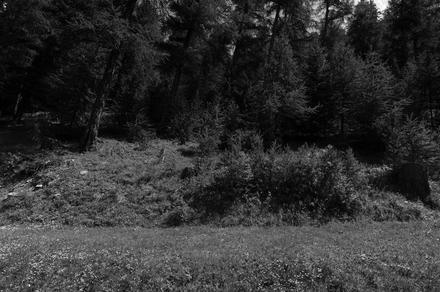
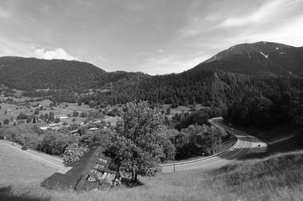
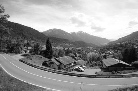
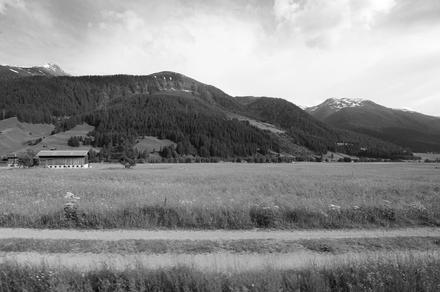
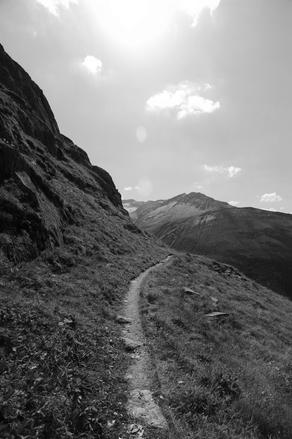
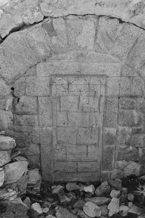
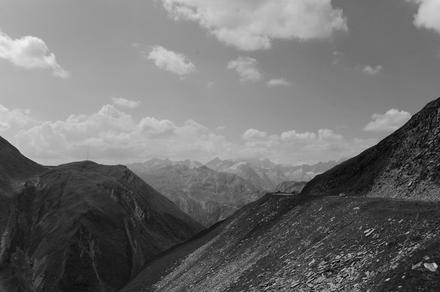
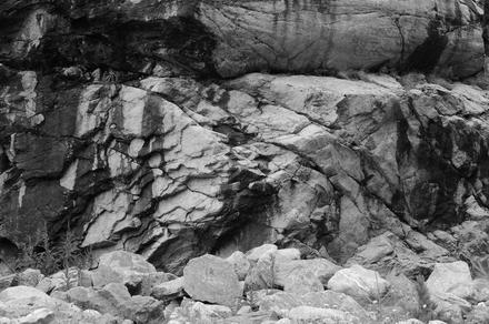
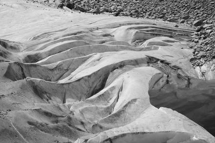
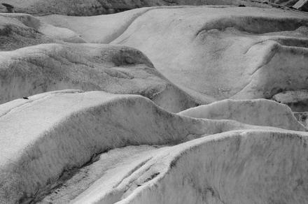
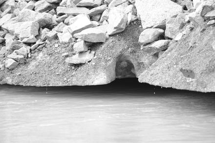
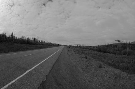
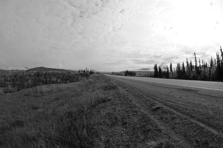
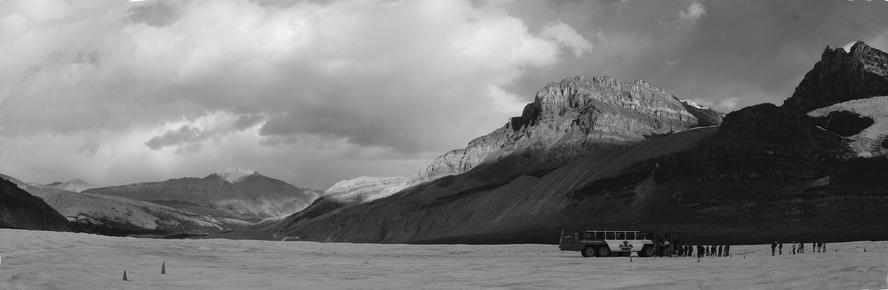
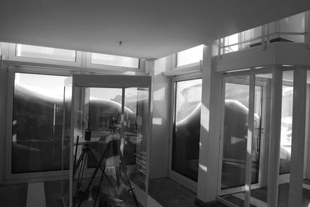
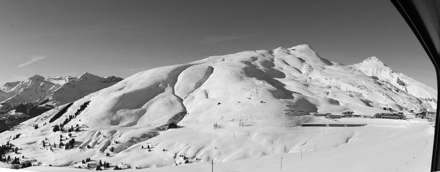
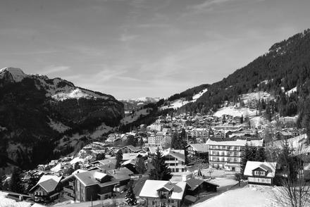
later, when travelling back, instead of taking the direct route via visp and zurich, we decided to follow the glacier express trail a bit by taking the matterhorn-gotthard bahn from visp via göschenen to andermatt, and then proceeded home from there. the last photos above are from that trip.

today, i did an excursion to the furka pass and the rhône glacier. i started at 05:45 in zürich, took the train to göschenen, and continued by postauto to the hotel belvédère.

from there, one can visit the ice grotto, a grotto hewn into the glacier. this was the first time i was inside a glacier, though not the first time being inside a artifical ice cave. there is a long twisted corridor, ending in a grotto. the walls often have lights inside, yielding spectacular effects. check out some impressions:

after that, i did a hike to the furka passhöhe. supposed to be a nice, easy hike, at least when you start at at the passhöhe. starting from hotel belvédère, the way is very steep in the beginning (instead of going steeply down at the end). here’s what my gps recorded for me.

the hike started at 2291 meters above sea level, climbed up to 2450 meters above sea level in around 700 meters, and peaked at 2486 meters above sea level near the end, and ended at 2427 meters above sea level after 2.97 kilometers. according to qlandkartegt, i climbed up 358 meters and walked down 222 meters during the whole trip. not bad for my training level… almost took me 2 1/2 hours. but it was really beautiful up there!

in case you want to do the trip in the same direction: the trail starts, seen from the glacier, behind the hotel. the sign is pretty easy to miss, and the trailhead is also easy to miss…

today, i finally did a hike i already wanted to do for a long time: i visited the morteratsch glacier in the engadine. there is a train station nearby, called morteratsch. from there, a trail leads to the ice front. it used to be that the train station was at the ice front, but that was more than 100 years ago, and since then the glacier retreated quite a distance – almost two kilometers. here are a few impressions from the hike to the ice front:

shortly before i reached the ice front, and just a few moments before i could see anything, i heard a loud noice. some ice collapsing, something breaking off, i don’t know. happens all the time, and it is always a good idea to know what you are doing when going on a glacier. for example, never go too near to places where ice seems to break off :-) anyway, even though i only was at the very bottom of the glacier – i’ve seen much more of some glaciers in canada –, there were many interesting views of ice formations, of mixtures of ice, dirt, rocks and water. glaciers are so beautiful!

while looking through the photos, i found a polar bear hiding in one of the photos. can you find it?

after leaving whitehorse, i traveled to the small town of haines junction, located near to the kluane national park. the trip to haines junction already presented beautiful scenery.

in haines junction, i stayed in a small but very nice cabin. if you’re interested in visiting haines junction and staying in a small cabin, featuring pretty much everything you need (except a bathroom, for which you have to leave the cabin and which you share), you might want to contact paddle wheel adventures.

my first trip starting in haines junction was north to the kluane lake, a rather large lake. here is a panoramic view:

this trip also resulted in a variety of beautiful shots:

on the trip back, i encountered the following lake, which i tried to catch in another panorama:

at the evening of that day, i noticed an aurora. unfortunately, it was pretty cloudy over haines junction, so i drove out of town. after a few kilometers, i got a much better sight.

the next day, i wanted to do some flightseeing of the kluane national park, as hiking is not really an option to do alone. at the airport, i was told to come back later, so i spend the time exploring the area south of haines junction.

finally, i drove back to the airport, and encountered a group of tourists which also wanted to do flightseeing. so we ended up filling two cessnas and flying over the mountains and glaciers:

this was really magnificent.

one of the most beautiful parts of our trip was the drive south the icefields parkway, connecting jasper to lake louise. here are a few impressions from our stops. we wanted to drive up mount edith cavell as well, but the road was closed.

astoria river bridge and athabasca river.

a beautiful lake and the athabasca falls.

mountains, and the columbia icefield.

our car, and the upper waterfowl lake.

the bow lake and the crowfoot glacier.

lake louise.

on december 8, 2008, i did another trip which i never wrote about so far. this time, i visited switzerland’s jungfraujoch, featuring europe’s highest train station at 3.454 meters above sea level. i did that trip on a monday to avoid the hordes of tourists wich invade the jungfraujoch in particular on weekends.

eigernordwand station.

the first stop of the train inside the mountain is the eigernordwand station.

eismeer station.

the second stop of the train inside the mountain is the eismeer station, giving a wonderful view on the lower grindelwald glacier.

note that the windows were steamy, which adds a neat glow to the scenery:

the top of europe.

at the final station, jungfraujoch station, one enters a huge station. here are some views from one outside part of the station:

two panoramas; the first gives another view from the station, similar to the one above, and the second one shows in detail a metal rope which survived an ice storm:

art & ice.

inside the station, one can find several pieces of art, including an ice palace consisting completely of ice:

outside, again.

this time, on the other side of the station, where one can walk on snow:

another panoramic view:

the way back.

finally, some views from the trip back to zürich: